
Genesee County
SKYWARN Severe Weather Spotting
Frequencies
Genesee County weather net operations take place on 147.380+ (88.5 PL Input) and 146.78- (151.4 PL Input) repeaters..
Net Procedures
Smartphones, online radar and automated feeds have changed what’s useful on a weather net. The purpose of these nets is to provide reports directly back to the NWS and MICON. Nets are initiated by MICON or at the request of Genesee County Emergency Management. This means a net may not be started even though there is a severe weather warning in the county.
What to Report
- Call sign — who is reporting.
- Location — city/town + county and cross streets or nearest landmark. GPS coordinates only if requested or necessary (e.g., spotter network integration).
- Time of observation — local time (HH:MM).
- Event/phenomenon observed — tornado sighting, funnel, wall cloud, hail, straight-line winds, flash flooding, heavy rain rate, fallen trees, power lines down, structural damage, etc.
- Intensity/size — hail diameter, wind estimate (mph or “trees uprooted / roofs damaged”), depth of water (inches/feet), number of structures affected.
- Immediate hazards / safety concerns — downed power lines, trapped people, evacuations needed.
- Duration / movement — how long you’ve observed it and the direction the storm or hazard is moving (if you can tell).
- Your status — safe / injured / in danger (so net control can escalate if necessary).
- Any photos or video available — say yes/no and whether you can forward them (use secure channels).
What Not to Report
- Long, raw radar reads or detailed METAR strings (automated services already supply those).
- A lengthy description of how you’re viewing radar (software name, zoom level, etc.).
- Repeating data readily available from public feeds (e.g., current NWS warnings for the county) unless you’re confirming local effects.
- A long equipment or station setup report (antenna types, software versions) unless it affects report reliability.
- Repeated, routine “everything normal” long-winded check-ins — a short status is faster and keeps the net available.
Why
Skywarn nets request only specific information to ensure accurate, timely, and actionable reports are delivered efficiently to the NWS during severe weather events. This practice prevents the radio net from being flooded with irrelevant details that could mask critical reports.
- Provides “ground truth”: Trained spotters are the NWS’s “eyes on the ground,” offering real-time verification of what their radar and other sensors indicate. For example, radar can show storm rotation, but a spotter’s report confirms a tornado is actually on the ground.
- Saves time on a busy net: During a severe weather outbreak, communication channels become hectic. By reporting only specific, predetermined criteria, spotters save precious time and keep the frequency clear for vital information. Other reports, like general cloudiness or distant lightning, are not useful and can bog down the network.
- Keeps information relevant: The NWS is not interested in minor details. Their warning decisions are based on reports of specific phenomena that meet or exceed severe weather thresholds, such as hail of a certain size, wind damage, or flooding.
- Ensures accuracy: Specific reporting criteria standardize the information received by the NWS. Instead of general observations, a spotter reports a precise location, the type of weather event, the time it occurred, and provides objective details (e.g., “dime-sized hail” instead of “lots of hail”).
- Helps emergency management: Spotter reports are also used by local emergency management officials. The specific, actionable data they provide helps emergency responders prepare for and respond to localized damage and hazardous conditions.
Alert Levels
The following alert levels are based upon the MICON-DTX Procedure Manual.
Condition Green
A Severe Thunderstorm Watch or Tornado Watch has been issued for Genesee County.
- Weather net check-ins accepted: provide your call sign and location.
- Keep transmissions short and DO NOT check-in with your call sign using phonetics unless Net Control requests it.
- Damage reports will also take place after the severe weather has passed.
Condition Yellow
A severe Thunderstorm Warning has been issued by the National Weather Service for Genesee County.
- This is directed net – ALL transmissions will go through Net Control.
- Do not check in to the net at this time unless you are reporting severe weather criteria or a real life emergency exists.
Types of reports to be accepted
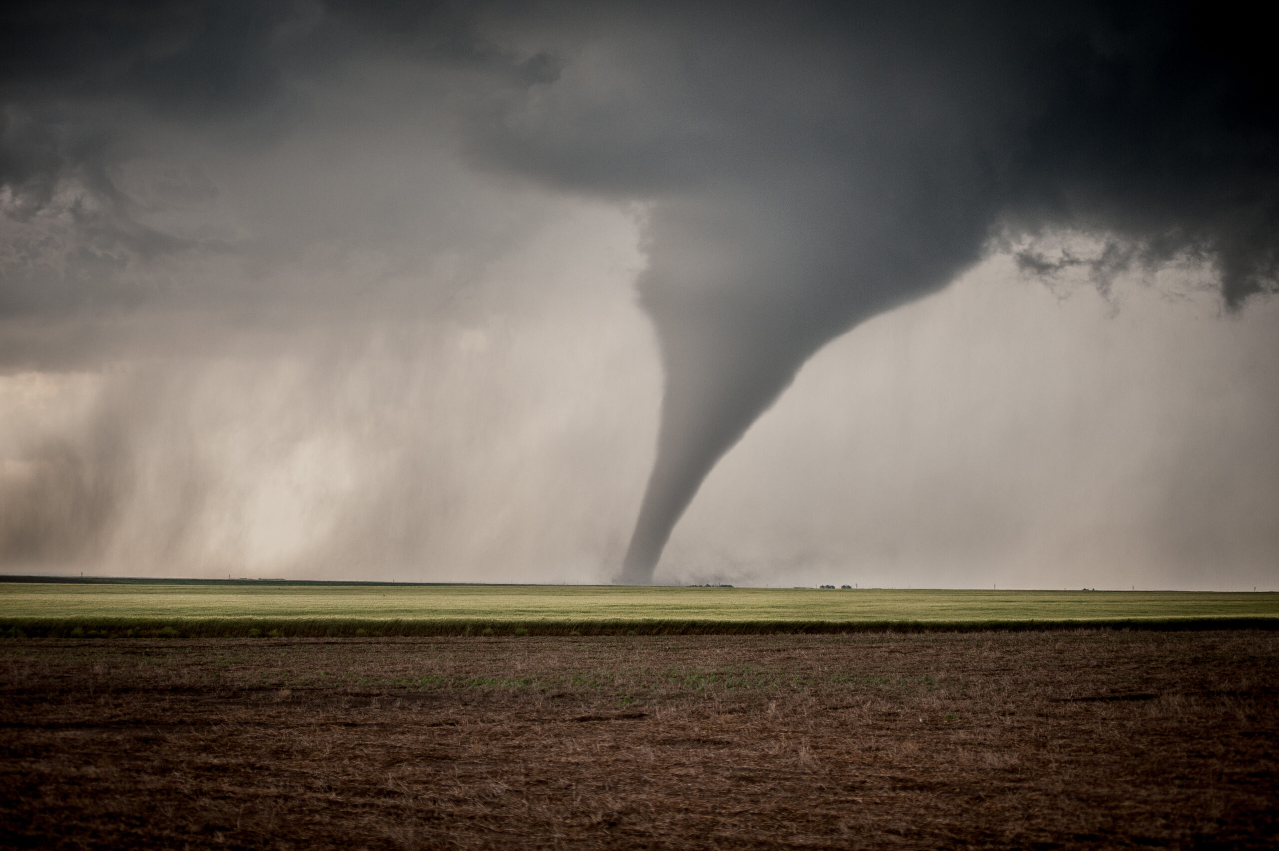
- Tornadoes (on the ground where, movement, direction, speed, and damage visible)
- Funnel clouds (direction, rotation, speed, location)
- Wall clouds (direction, rotation, speed, location)
- Hail (give diameter)
- Flooding (water over the curbs)
- Heavy or torrential rains (near zero visibility)
- Damaging winds (speed, direction, damage)
Condition Red
A Tornado Warning has been issued by the National Weather Service for Genesee County.
- This is the highest level of alert status.
- This is directed net – ALL transmissions will go through the NCS.
- The only transmissions taken by NCS will be severe weather criteria pertaining to tornado type activity or life safety traffic.
- Do not check in to the net at this time unless you are reporting severe weather criteria or a real life emergency exists. Your severe criteria report that will also be considered as your check-in.
Types of reports to be accepted
- Tornadoes (on the ground where, movement, direction, speed, and damage visible)
- Funnel clouds (direction, rotation, speed, location)
- Wall clouds (direction, rotation, speed, location)